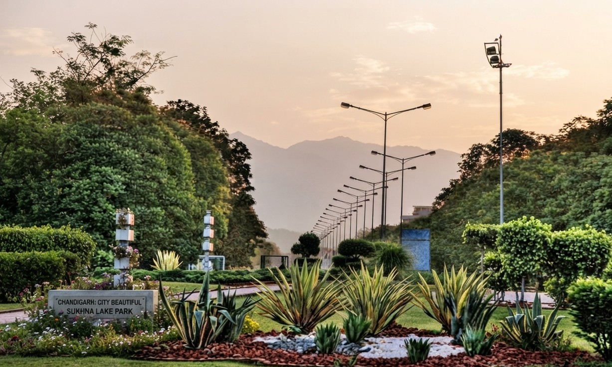
Key Takeaways
- The distance from Chandigarh to Kaza, Spiti Valley’s main town, is approximately 450-520 km depending on the route.
- The journey typically takes 2 to 3 days, with acclimatization stops strongly recommended.
- Two main routes exist: via Shimla-Kinnaur (safer, open longer) and via Manali-Kunzum Pass (shorter, steeper).
- A high-ground-clearance vehicle is recommended due to rough road sections at high altitude.
Chandigarh to Spiti Valley Distance
The distance from Chandigarh to Kaza, the main town in Spiti Valley, is approximately 450 to 520 kilometres depending on which route you take. Given the high-altitude terrain, this is a multi-day journey rather than a single long drive.
Route 1: Via Shimla and Kinnaur
This route runs from Chandigarh through Shimla, Narkanda, Rampur, Reckong Peo, Kalpa, Nako, and Tabo before reaching Kaza, covering roughly 500 kilometres. Consequently, this path is generally recommended for first-time visitors since it allows gradual altitude gain and stays open for longer through the year, with stops like Chitkul, the last village near the Indo-Tibet border.
Route 2: Via Manali and Kunzum Pass
The alternative route goes from Chandigarh through Manali, the Atal Tunnel, and Kunzum Pass to Losar before reaching Kaza, covering approximately 450 kilometres. Additionally, this route is shorter but involves a steeper ascent, so it’s often recommended for the return leg rather than the entry point, to reduce the risk of altitude sickness.
How Long the Trip Takes
Most travelers plan for 2 to 3 days to reach Kaza, with overnight stops built in for acclimatization. Therefore, attempting to cover the full distance without breaks is strongly discouraged given the altitude gain involved.
Vehicle and Fuel Considerations
A high-ground-clearance vehicle, ideally an SUV, is recommended due to rough and unpaved sections along the way. Furthermore, fuel stations can be more than 200 kilometres apart in stretches near Reckong Peo and Kaza, so filling up at every opportunity is essential.
Best Time to Visit
Spiti Valley is typically accessible from May through October, with the Manali route often closed by heavy snow in winter months. Consequently, planning around this window and checking current road conditions before departure is essential for this remote high-altitude region.
Frequently Asked Questions
What is the distance from Chandigarh to Spiti Valley?
The distance to Kaza, Spiti’s main town, is approximately 450 to 520 km depending on the route.
Which route is better for first-time visitors?
The Shimla-Kinnaur route is generally recommended for first-timers, allowing gradual altitude adjustment.
How many days does the trip take?
Most travelers plan 2 to 3 days with acclimatization stops built in.
Do I need a special vehicle for Spiti Valley?
A high-ground-clearance vehicle, ideally an SUV, is recommended due to rough road sections.
When is Spiti Valley accessible?
Typically from May through October; the Manali route often closes in winter due to snow.
Why is fuel planning important for this trip?
Fuel stations can be more than 200 km apart in remote stretches, so filling up regularly is essential.
Spiti Valley’s remote, high-altitude landscape makes careful route and acclimatization planning essential for a safe trip from Chandigarh. For a shorter Himachal getaway, see our guide to Chandigarh to Manali Distance.