Key Takeaways
- Chandigarh’s map is based on a grid plan designed by architect Le Corbusier in the 1950s.
- The city is divided into numbered sectors, each measuring roughly 800m x 1200m.
- There is no Sector 13, as Le Corbusier considered the number unlucky.
- Each sector functions as a self-contained unit with housing, shops, schools, and green spaces.
Understanding Chandigarh’s Map
Chandigarh’s map follows a distinctive grid layout designed by French-Swiss architect Le Corbusier in the 1950s, making it one of India’s first planned cities and a rare example of modernist urban design at this scale.
The Sector Grid System
The city is divided into numbered sectors, each measuring approximately 800 meters by 1200 meters. Consequently, each sector functions as a self-sustained neighborhood unit, containing residential areas, schools, shops, health centers, and recreational spaces within walking distance.
Why There’s No Sector 13
Chandigarh’s sector numbering skips 13 entirely, since Le Corbusier considered the number unlucky. Therefore, the city’s map jumps directly from Sector 12 to Sector 14.
The Body Metaphor
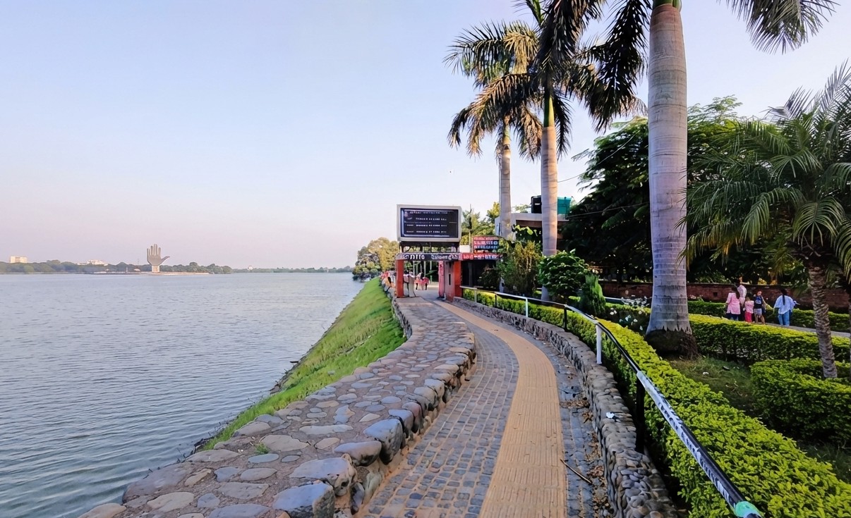
Le Corbusier conceived Chandigarh’s layout as analogous to the human body: the Capitol Complex in Sector 1 as the head, City Centre in Sector 17 as the heart, the Leisure Valley as the lungs, educational institutions as the limbs, and the road network as the circulation system.
Road Hierarchy
Chandigarh’s roads follow a V1 to V7 hierarchy, ranging from V1 arterial roads connecting the city to other towns, down to V7 pedestrian paths within sectors. Furthermore, each sector permits only four vehicular entry points, keeping traffic largely on the outer edges.
Frequently Asked Questions
Who designed Chandigarh’s city map?
Chandigarh’s grid layout was designed by French-Swiss architect Le Corbusier in the 1950s.
Why does Chandigarh not have a Sector 13?
Le Corbusier considered the number 13 unlucky, so the sector numbering skips directly from 12 to 14.
How big is each sector in Chandigarh?
Each sector measures approximately 800 meters by 1200 meters.
What is at the center of Chandigarh’s map?
Sector 17 serves as the City Centre, described as the ‘heart’ of Le Corbusier’s body metaphor for the city.
How many vehicular entry points does each sector have?
Each sector permits only four vehicular entry points, keeping through-traffic on the outer roads.
What is the V1-V7 road system?
It’s Chandigarh’s road hierarchy, ranging from V1 arterial roads to V7 pedestrian paths within sectors.
Chandigarh’s grid-based sector map remains one of the most distinctive features of Indian urban planning. For more on the city’s road classification, see our guide to Chandigarh Road.